Troublesome flooding not expected this spring
The Yukon’s spring weather temperatures may be above seasonal averages,
By Gord Fortin on April 24, 2019
The Yukon’s spring weather temperatures may be above seasonal averages, but this does not signal a troublesome fire nor flooding season, according to Yukon Wildland Fire Management staff.
The organization presented flood and fire data at a technical briefing last Thursday afternoon in Whitehorse.
Benoit Turcotte, a hydrologist with Environmental Sustainability, spoke on flood forecasting across the territory. He said there are record dry conditions in all of the southern portions of the territory.
It’s slightly less dry near the Stewart, Peel and Porcupine rivers, Turcotte added.
The Dawson City area is seeing some rain, but it’s not enough to generate significant runoff.
The temperature is rising above freezing during the day but falling below at night. This causes melting during the day but freezing at night.
The ice cover is melting slowly, and there is no fast runoff. Rivers in the area remain low, Turcotte said.
As per Water Survey Canada’s real time water levels information, Turcotte said, as of March 1, the Klondike River was low.
Later in March, there was some runoff as the ice melted. He said there was some ice blockage, but nothing significant.
Turcotte said the early spring snowfall did not cause any significant runoff as it melted.
Old Crow is still reporting winter conditions. The Porcupine River still has ice less than a metre thick, which is thinner than average.
This is a good thing, Turcotte explained. If the ice was thicker, there would be worry about ice jams in the area.
He clarified that Old Crow did get more snow than average, and if it melts quickly, it could cause problems.
As for the Yukon River, there was no significant movement to report. Cameras aboard the SS Keno in Dawson show the ice degrading and the water rising slightly, but remaining stable. Turcotte sees a low probability of an ice jam on the river.
Overall, he feels there was no cause for concern, and things should be fine when all the ice is gone in most areas. He maintained the concern over the Porcupine, Liard and Peel rivers.
This is because they each have enough snow to create runoff.
“If it melts gradually, nothing will happen,” Turcotte said.
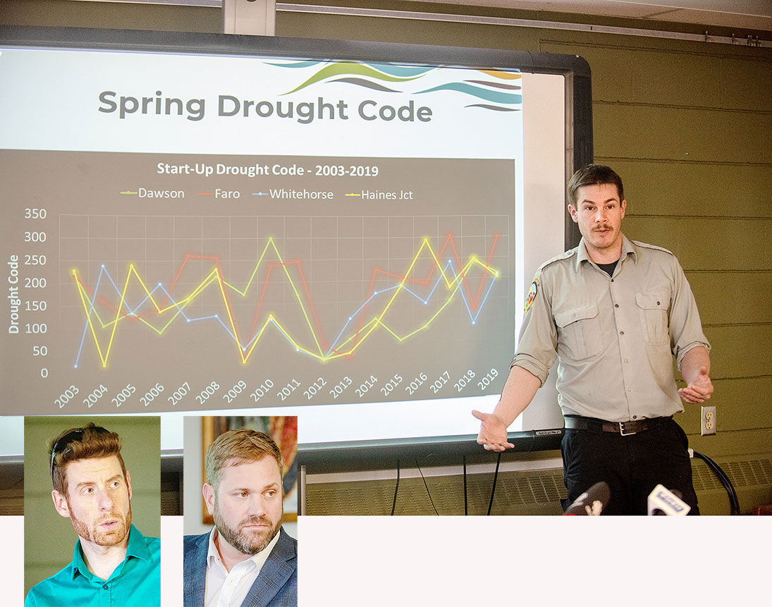
Mike Smith, the assistant manager of planning and science at Wildland Fire Management, presented data on the upcoming wildfire season.
There has already been one wildfire this year, in the Dempster Highway area two weeks ago, caused by a campfire. He said this fire was of no real concern.
Smith explained that normally at this time of year, the Yukon experiences positive temperatures. The current temperatures are “nothing huge,” he added.
The south has been between 0.5 and two degrees warmer than usual. That trend has been more pronounced in the North, including the Dempster and Old Crow, areas where it could be as high as 10 degrees.
“It’s pretty spectacular,” Smith said.
Old Crow received above-average precipitation this year.
In Whitehorse, the spring snowfall pushed the city over the limit, he said.
A lot of valley bottoms in the territory have lost their snow. Losing snow this early can be worrisome, Smith said, as it can demonstrate a potential fire risk.
Normally, he said, this happens in forests and valleys, some time in May, based on data compiled over the last 16 years.
Once this weather kicks in, it’s time to calculate fire prospects, he said.
This includes measuring the moisture in the big dead and down fuels in forests. That will help determine how much large fuel is present that could burn. Smith estimated there are most
likely another three weeks before everything dries out.
So far, he added, this year has been on the higher end of temperatures over the past 16 years, which is not record-breaking.
He explained that most of the wildfires in the territory are sparked by lightning strikes, not careless people. As of last Thursday, there had been three lightning strikes since April 15-16.
Each hit snow.
The fire danger won’t dramatically rise over the next few days as there is no projected rapid warming.
Heading onto May, he said, there will be some mounting fire risk, but it will not be too critical nor reach extreme levels. The change will be gradual.
Damien Burns, Wildland’s director, gave a brief presentation on Operation Nanook, a military exercise scheduled for May 27-June 7 south of Whitehorse.
It will see the Yukon government, Whitehorse, Teslin, Carcross and the military take part in a mock wildland fire scenario.
The participants will provide a response, and part of the south end of the city will be “evacuated.”
The goal is to practise setting up and running reception centres, damage assessment and clean air monitoring.
Burns could not give any further details, but said more will be available May 23.
Be the first to comment